Southeast Regional Management District
 default
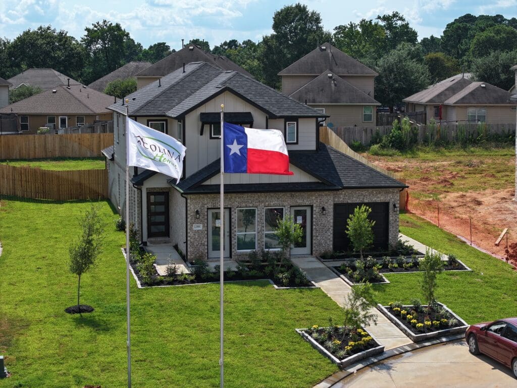
Trails at Cochran Ranch
Colony at Pinehurst
Creekside Court
Enclave at Dobbin

Mostyn Springs
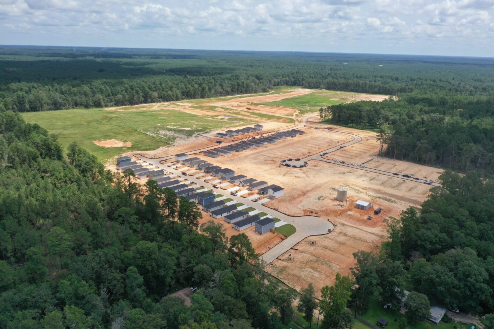
Moore Landing
Rosehill Meadow

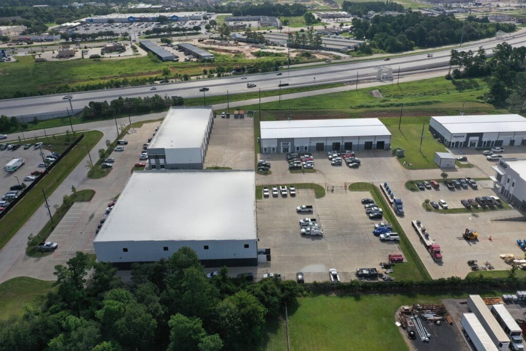
Willow Creek Industrial Park
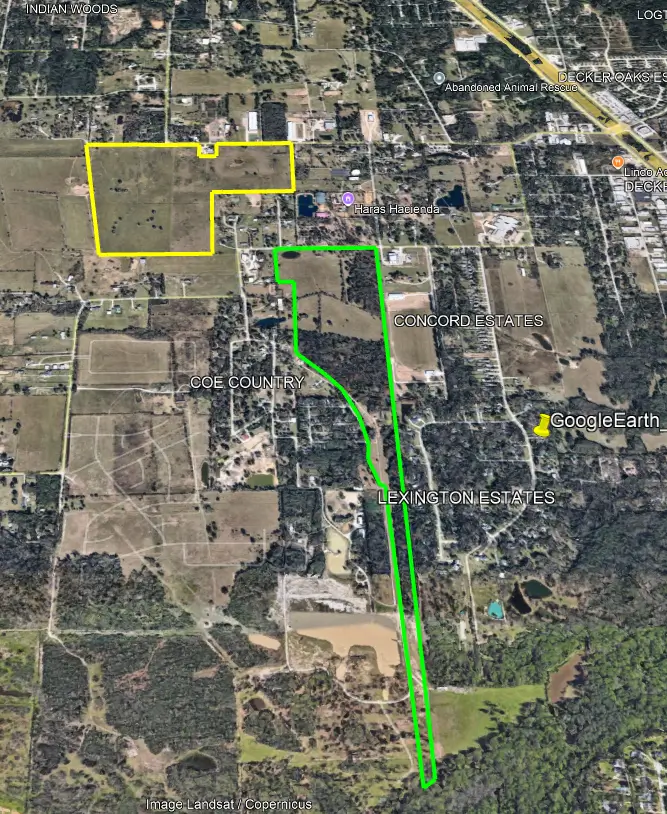
Enclave at Lexington Woods
Alset Villas by Lakes at Black Oak
Sunset Valley

Copia Pines
Flagstone
Lake Conroe Cove
 default
Bauer Meadows
Williams Reserve East
Mill Creek Trails

Marie Village
 0.9.142
Baron Village
 default
Oakwood Trails
Lakes at Black Oak
William Trails

Binford Creek
 default
Saddle Village
 default
Enclave at Willis
 default
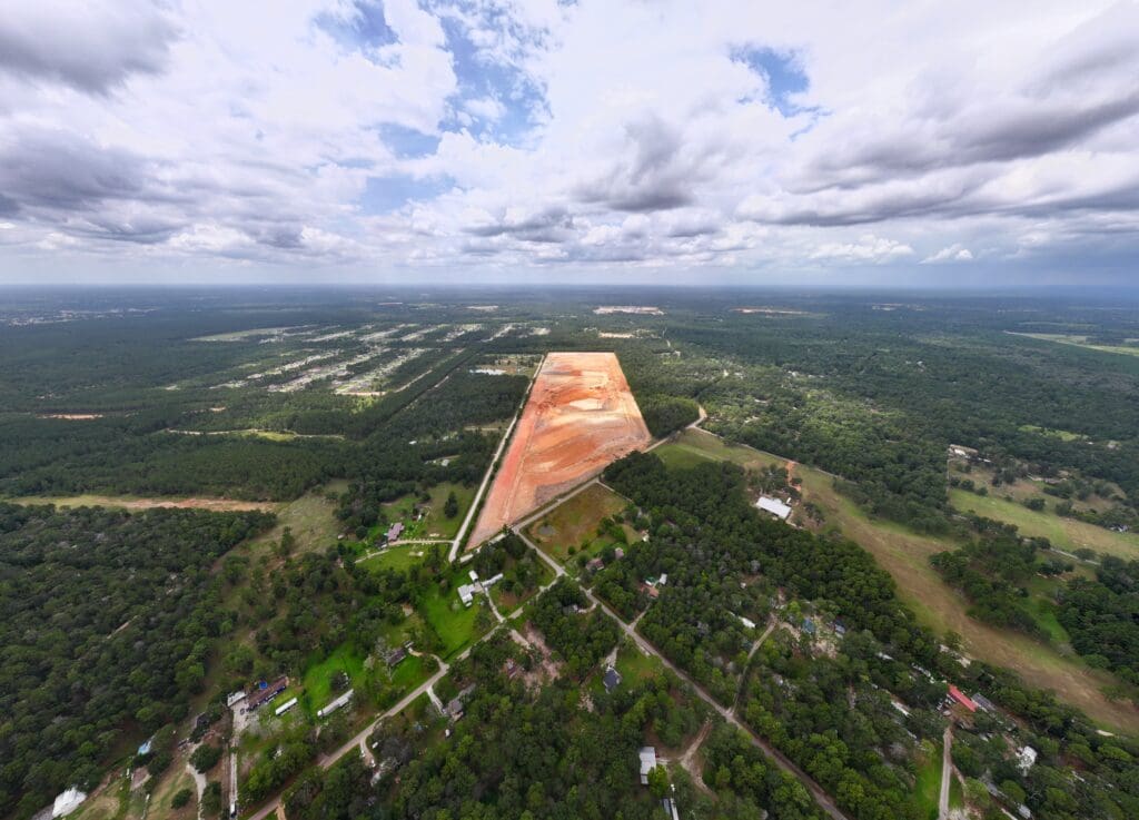
Coe Ranch South
Coe Ranch North
Oak Hills Montgomery South
Oak Hills Montgomery North
Flamingo Isles Municipal Utility District

Haborwalk
Northeast Regional Management District


